Norway, Sognefjord (or Sognefjorden) fjord 02
Image details
Contributor:
Andreas Gkanatsios / Alamy Stock PhotoImage ID:
2BNH573File size:
28.7 MB (1.2 MB Compressed download)Releases:
Model - no | Property - noDo I need a release?Dimensions:
2592 x 3872 px | 21.9 x 32.8 cm | 8.6 x 12.9 inches | 300dpiDate taken:
24 July 2011Location:
Norway, Sognefjord (or Sognefjorden) fjordMore information:
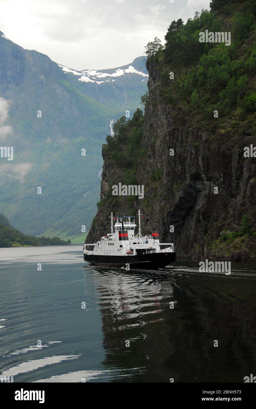
The Sognefjord (or Sognefjorden) is the largest fjord in Norway, and the second longest in the world. Located in Sogn og Fjordane county, it stretches 205 kilometres (127 mi) inland to the small village of Skjolden. The fjord takes its name from the traditional district of Sogn. The Nærøyfjord (or Nærøyfjorden) is a fjord in the municipality of Aurland in Sogn og Fjordane, Norway. The narrow fjord is a branch of the large Sognefjord, and it is featured on the "Norway in a Nutshell" daytrips for tourists. The 18-kilometre (11 mi) long fjord is only 500 metres (1, 600 ft) wide in some parts. The river Nærøydalselvi flows down the valley Nærøydalen into the fjord at the village of Gudvangen, near the highway E16. The village of Bakka and the Bakka church are located on the west shore of the fjord. Since 2005, the Nærøyfjord has been listed as a UNESCO World Heritage Site. It has also been rated by the National Geographic Society as the world's number one natural heritage site along with the Geirangerfjord. The voyage with the car ferry ends at the village Flam. Flåm is a village at the inner end of the Aurlandsfjord, an arm of the Sognefjord. The village is located in the municipality of Aurland in Sogn og Fjordane county, Norway. The village is located along the E16 highway, about 7 kilometres (4.3 mi) southwest of Aurlandsvangen, 12 kilometres (7.5 mi) south of Undredal, and 15 kilometres (9.3 mi) east of Gudvangen(through the Gudvanga Tunnel).