
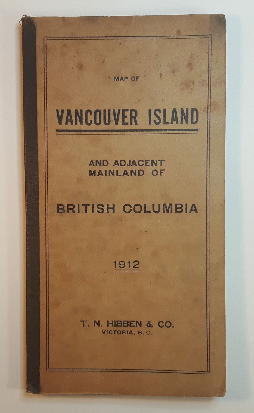

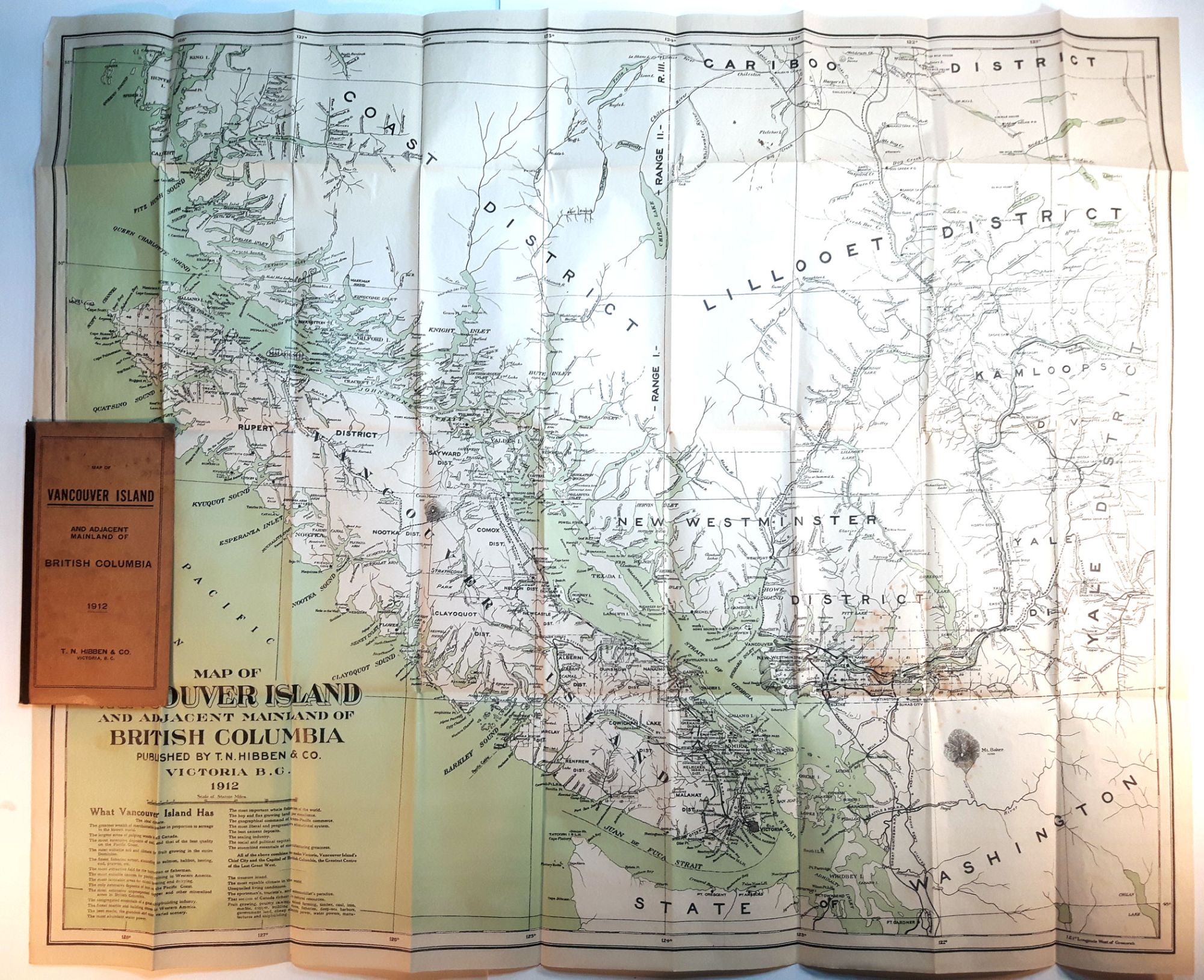
MAP OF VANCOUVER ISLAND AND ADJACENT MAINLAND OF BRITISH COLUMBIA. 1912.
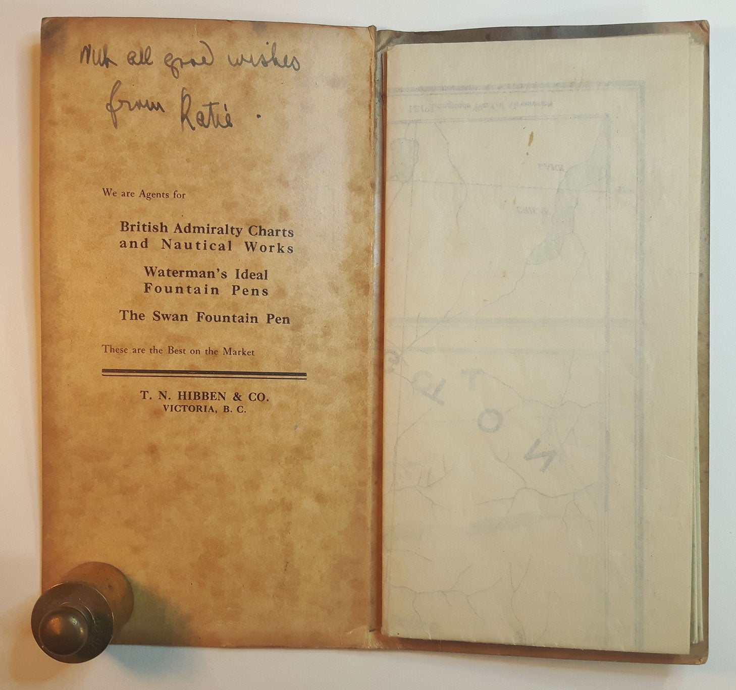
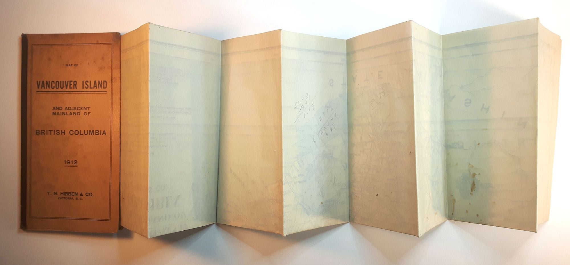
Victoria, BC: T.N. Hibben & Co., 1912. Folding map, 79 x 74.5 cm, folded into thick card wrappers with black cloth spine, 19 x 10 cm. Beautiful map of Vancouver Island, New Westminster District, Coast District, Yale District, Lillooet District, Cariboo District, & part of Northern Washington State.; Cape Scott to Princeton, BC. Some mild stains, old ink inscription on inner front cover of the card wrappers, mild stains to rear panel of card cover, a beautiful map in lovely condition, original folds but with no tears. Item #313171
¶ A very scarce early map of Vancouver Island. Hibben issued various maps of Victoria and Vancouver Island around this period, mostly street maps or property maps, as well as Victoria City Directories. However, this particular map is very, very scarce, with no copies held in UBC Library; Not in the Victoria Archives; Not in Royal BC Museum / BC Archives; Not in Vancouver Public Library.
Price (USD): $450.00