
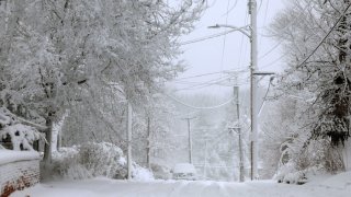
With the potential for "blizzard-like" conditions in the Chicago area Friday, some may be wondering if a blizzard warning will be issued.
First, what is required for a blizzard warning to be issued? Contrary to what many might think, the answer doesn't just have to with how much snow is falling.
According to the National Weather Service, the requirements for a blizzard warning are:
- wind speeds of 35 mph or greater
- considerable falling or blowing snow
- visibilities frequently below a quarter mile are expected to prevail for three hours or more.
While that criteria could be met during Friday's snowstorm, it will also be dependent on certain factors lining up.
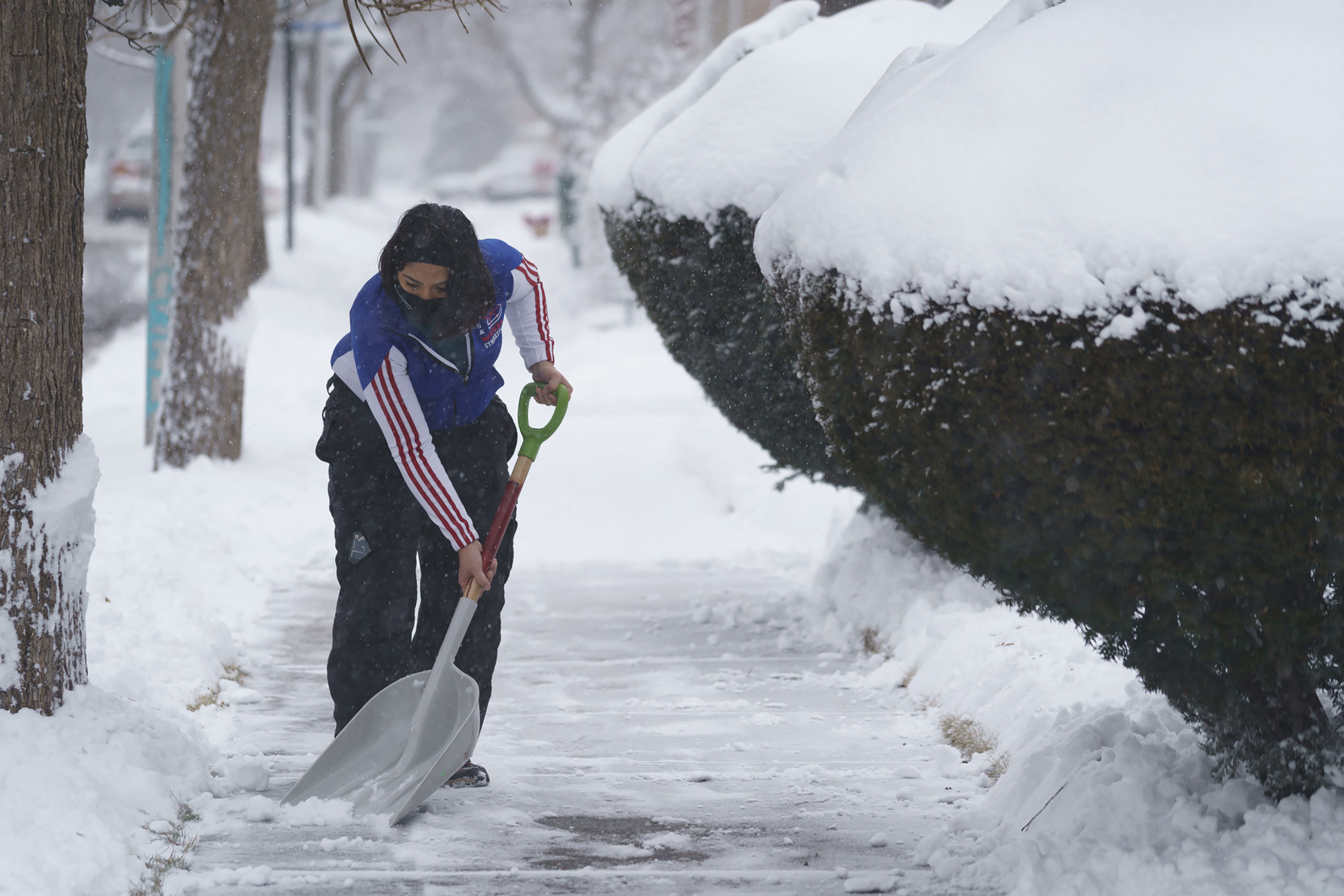
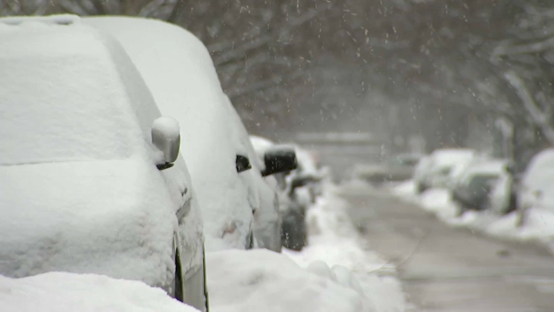

Heavy snow is possible for the evening commute. The largest snowfall totals are expected to fall after 5 p.m. and into the overnight hours as temperatures continue to drop.
At the same time, several counties will be under a winter storm warning, which notes wind gusts of up to 45 mph are expected in some locations.
The alert warns of snow rates that could exceed 1 inch per hour at times, paired with wind gusts of up to 45 mph, particularly for Friday evening, which could mean blowing snow and "very low visibility."
What remains to be seen is how long those conditions might last as uncertainty over whether the system will bring more snow or rain to many locations.
Feeling out of the loop? We'll catch you up on the Chicago news you need to know. Sign up for the weekly Chicago Catch-Up newsletter here.
Here's a breakdown of winter weather alerts and the criteria needed for each to be issued, according to NWS:
Warnings
| Winter Storm | Snow amounts of 6 inches or more in 12 hours, or 8 inches or more in 24 hours, or heavy sleet accumulations of one half inch or greater are expected. These may or may not be accompanied by wind or other phenomena. A warning may also be issued if conditions will be approaching blizzard criteria and/or have significant impacts, even if snowfall amounts are not expected to reach the criteria above. |
| Snow Squall | These are short-fused, smaller warnings (i.e. considerably smaller in space and time than Winter Storm Warnings) and issued for localized, intense areas of snow/wind expected to cause sharply reduced visibility of 1/4 mile or less often with sub-freezing road temperatures. These are not issued when Winter Storm or Blizzard Warnings are in effect. |
| Ice Storm | Ice accumulations of a quarter inch or more are expected. |
| Wind Chill | Widespread wind chill values around -30° or colder. For NWS criteria across the area, click here. |
| Excessive Heat | Chicago/Cook County: Three consecutive days with a peak heat index expected to reach 100-105° or two consecutive days with a forecast peak heat index 105-110° or one day with an expected peak heat index forecast at 110° or higher.Elsewhere: Maximum heat index is expected to reach 110° or greater and a minimum heat index of 75° or greater for at least 48 hours. |
| Freeze | Widespread temperatures below freezing when during the growing season are expected. |
Watches
| Winter Storm | Severe winter storm conditions may occur, including heavy snow, significant ice or sleet accumulations, and any of those accompanied by strong winds that may lead to significant visibility reductions. |
| Wind Chill | Widespread wind chill values around -30° or colder are possible. |
Advisories
| Winter Weather | Any one of a combination of the following winter weather elements is expected: 3 to 6 inches of snow, light sleet accumulation, light ice accumulation, and localized significant visibility reductions due to snow and/or blowing snow. This may be issued for less than 3 inches of snow if significant impacts are expected. |
| Wind Chill | Widespread wind chill values around -20° or colder are expected. For NWS criteria across the area click here. |
