
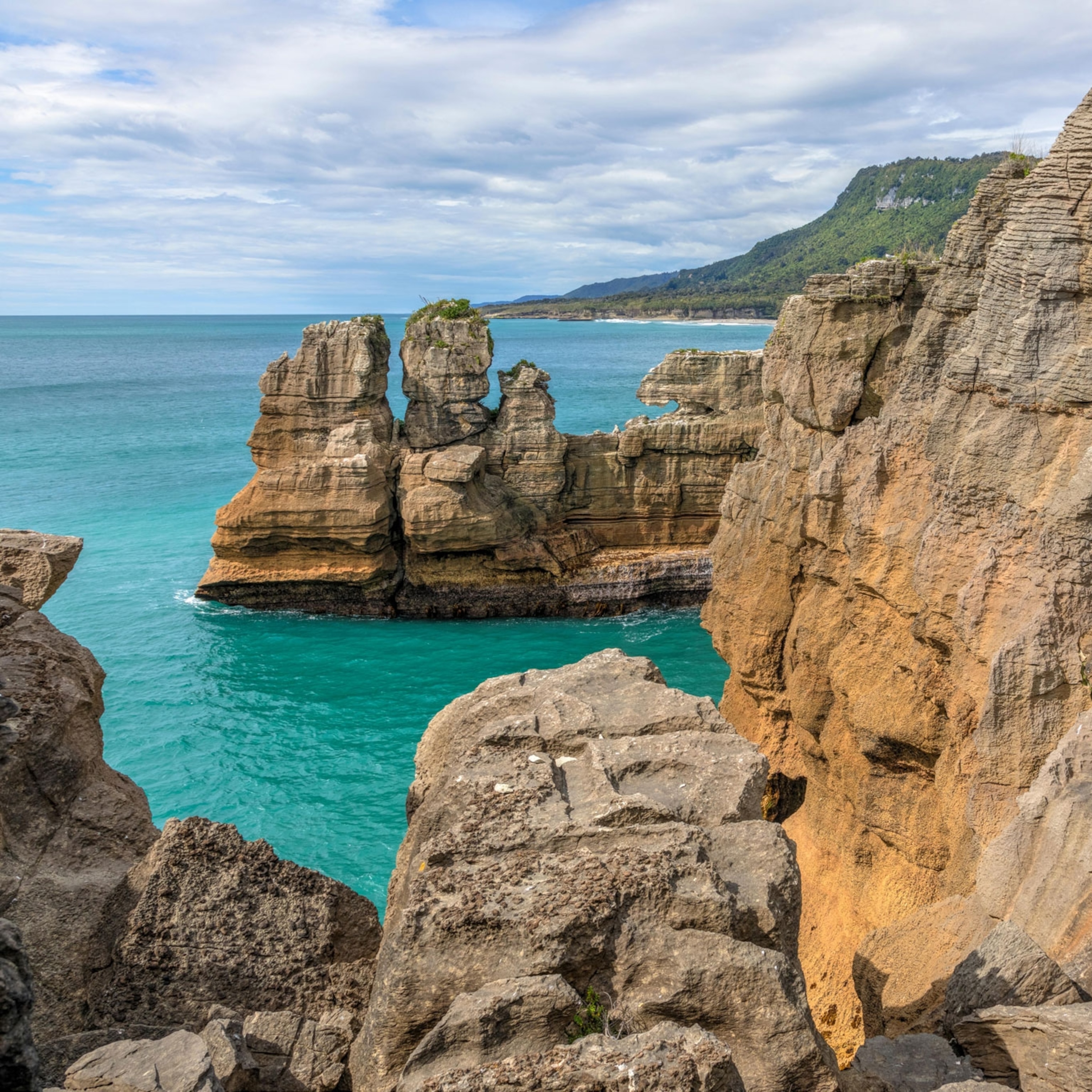
Climbers who make it to the top of Mount Everest may not know it, but under the snowpack sits an expanse of mottled gray rocks that once lay on the ocean floor.
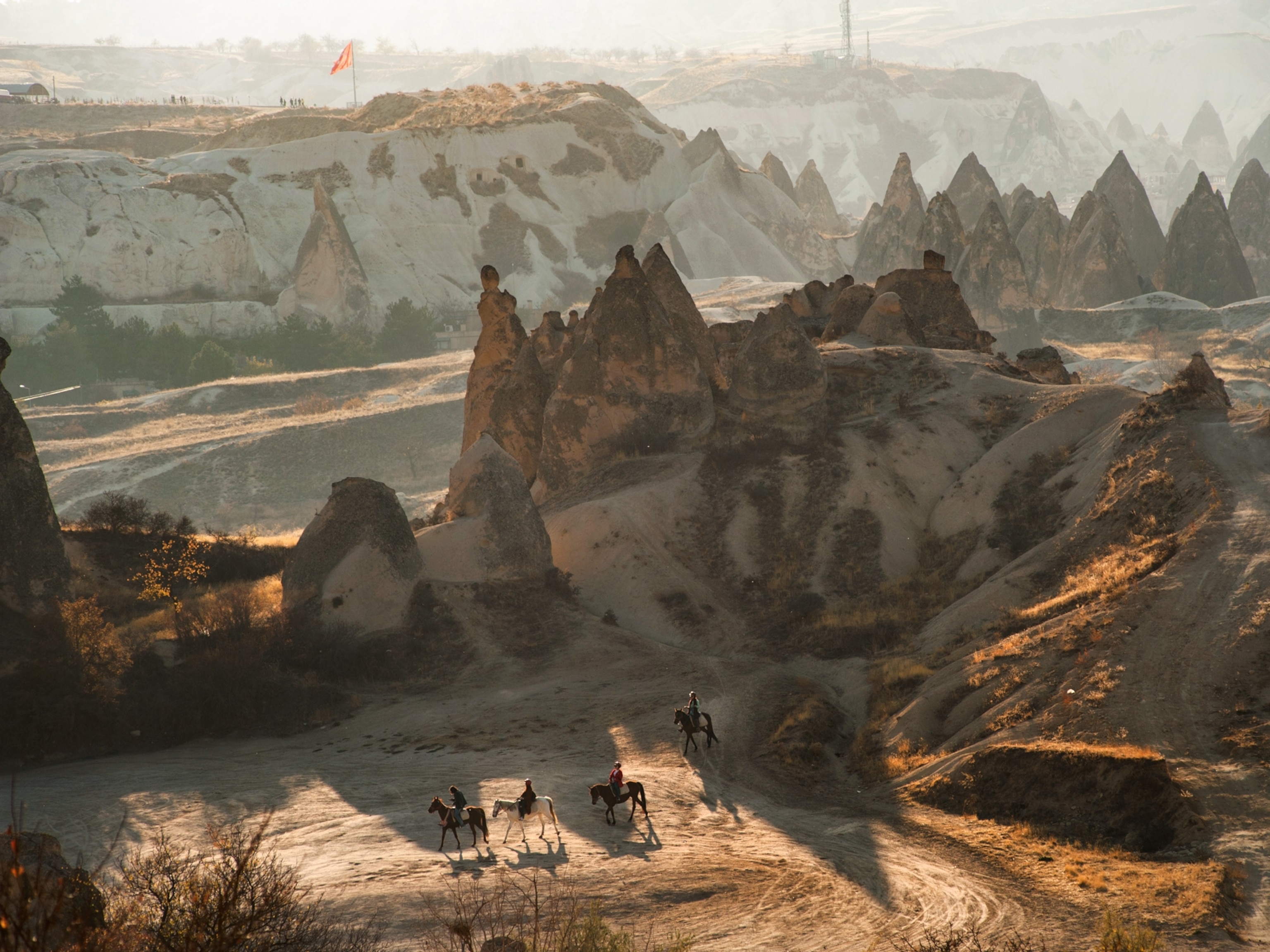
The rocks arrived at this surprising spot, nearly 30,000 feet above sea level, due to the slow march of tectonic plates, slabs of solid rock that make up our planet’s fractured outer shell. These plates continually jockey for position, shaping the array of features visible at the surface. In some places, the plates pull apart, creating valleys in the land. In others, they collide, shoving mountains into the sky.
Rising at the border of Tibet and Nepal, Mount Everest formed from a tectonic smashup between the Indian and Eurasian tectonic plates tens of millions of years ago. The collision crumpled the landscape, raising mountains along some 1,5000 miles, a range we know as the Himalaya. While mysteries remain about the precise steps happening in this continental crash, the collision continues to this day, which is, in part, why Everest’s altitude is always changing. (Find out results from the latest surveys for the height of Mount Everest.)
The birth of a mountain range
The story of the Himalaya begins some 200 million years ago, as the supercontinent of Pangea began to split into pieces. The Indian plate eventually broke free, trekking northward toward the landmass we now know as Asia. The Indian plate zipped along at surprisingly fast speeds, geologically speaking, shifting nearly 30 feet or more each century.
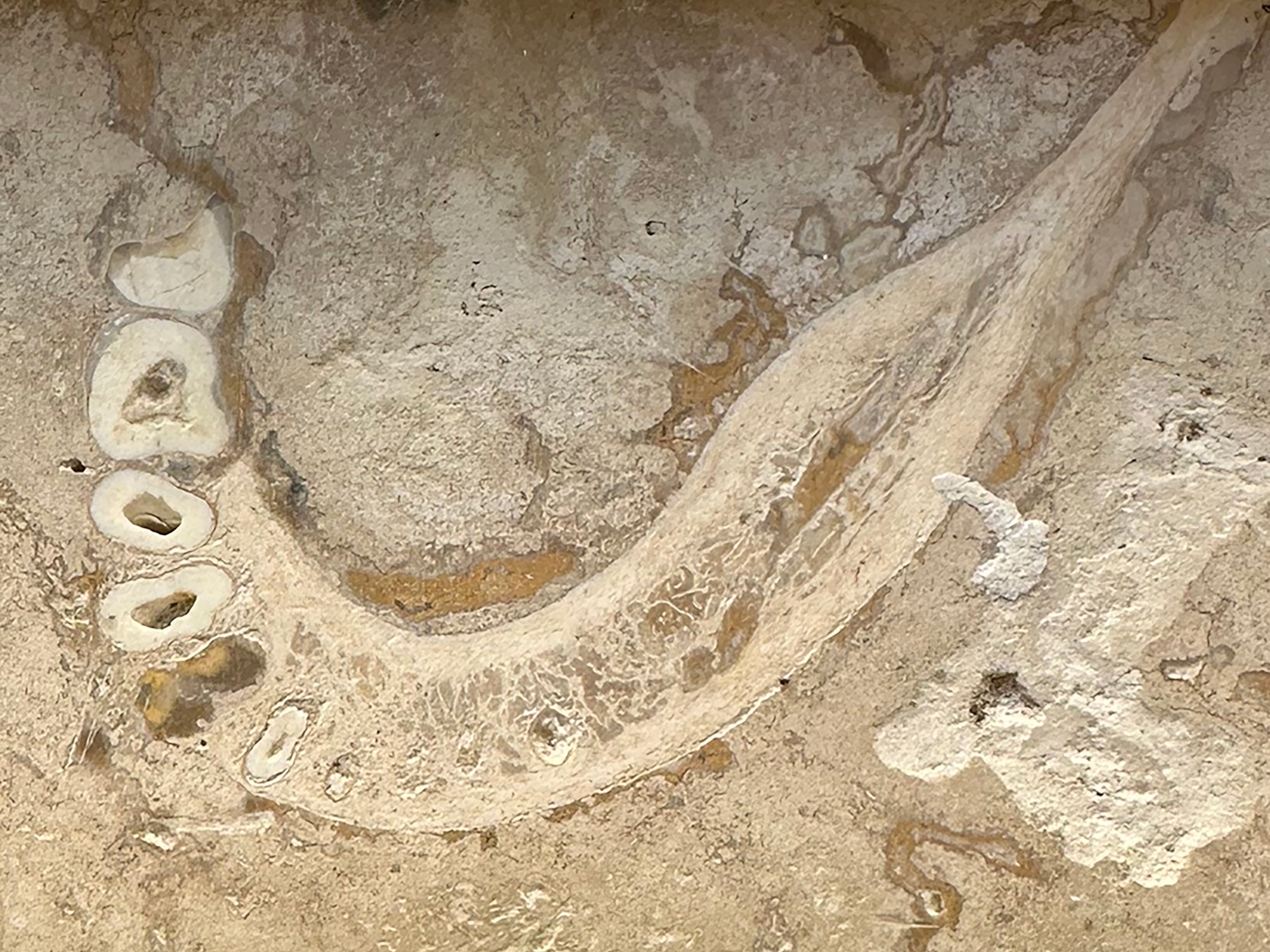
At the time, the vast Tethys ocean filled the gap between India and Eurasia, but as India moved northward, the ocean began to close. The plate under the water, made of dense oceanic crust, plunged beneath the southern edge of the more buoyant rocks that make up the Eurasian continental plate, creating a feature known as a subduction zone. The slow slip of the oceanic slab into the mantle scraped a thick layer of seafloor sediments into a pile at the edge of the Eurasian plate—and this sandy layer would later be squeezed into rock and end up on the mountainous peaks. (See the summit of Everest and its surrounding peaks in 360 degrees.)
Around 50 million years ago, India’s speed precipitously declined, a shift many scientists interpreted as the early stages of the plate’s collision with Eurasia. Further evidence from marine sediments suggests the final swath of the Tethys ocean closed between 50 and 60 million years ago.
Unlike an oceanic plate, which is cold and dense, the Indian continental plate is thick and buoyant. So, as the continents compressed and India shoved its way under Asia, the surface buckled and the crust thickened to form what would eventually become the mighty Himalaya mountain range. Or, at least, that’s long been the accepted version of the story.


But as scientists continue to pore over every bend, crack, and rock in this system, many mysteries have arisen. Study of ancient magnetic patterns in the rock allows researchers to chart a continent’s position over time, and recent work using this method revealed that when the mountain-forming collision supposedly took place, some 55 million years ago, India would have been strikingly far south from Eurasia. That would leave a mysterious yawning gap between the two continents.
Did the Indian plate initially collide with a now long-gone landmass that sat between the two larger continental blocks? Could the Indian plate’s northern edge have extended much farther than previously thought? Why was the Indian plate moving so fast before impact? These are among the many questions scientists are still working out.

Ever growing and shrinking
No matter when it started, though, the collision that formed Everest still continues today. India creeps northward a couple inches each year, and scientists estimate that the ongoing impact with Eurasia might force the mountains to ever greater heights, with an estimated average uplift of roughly 10 millimeters a year in the northwestern sections of the range, and around a millimeter a year at Everest. (Learn why it's so difficult to measure Everest.)
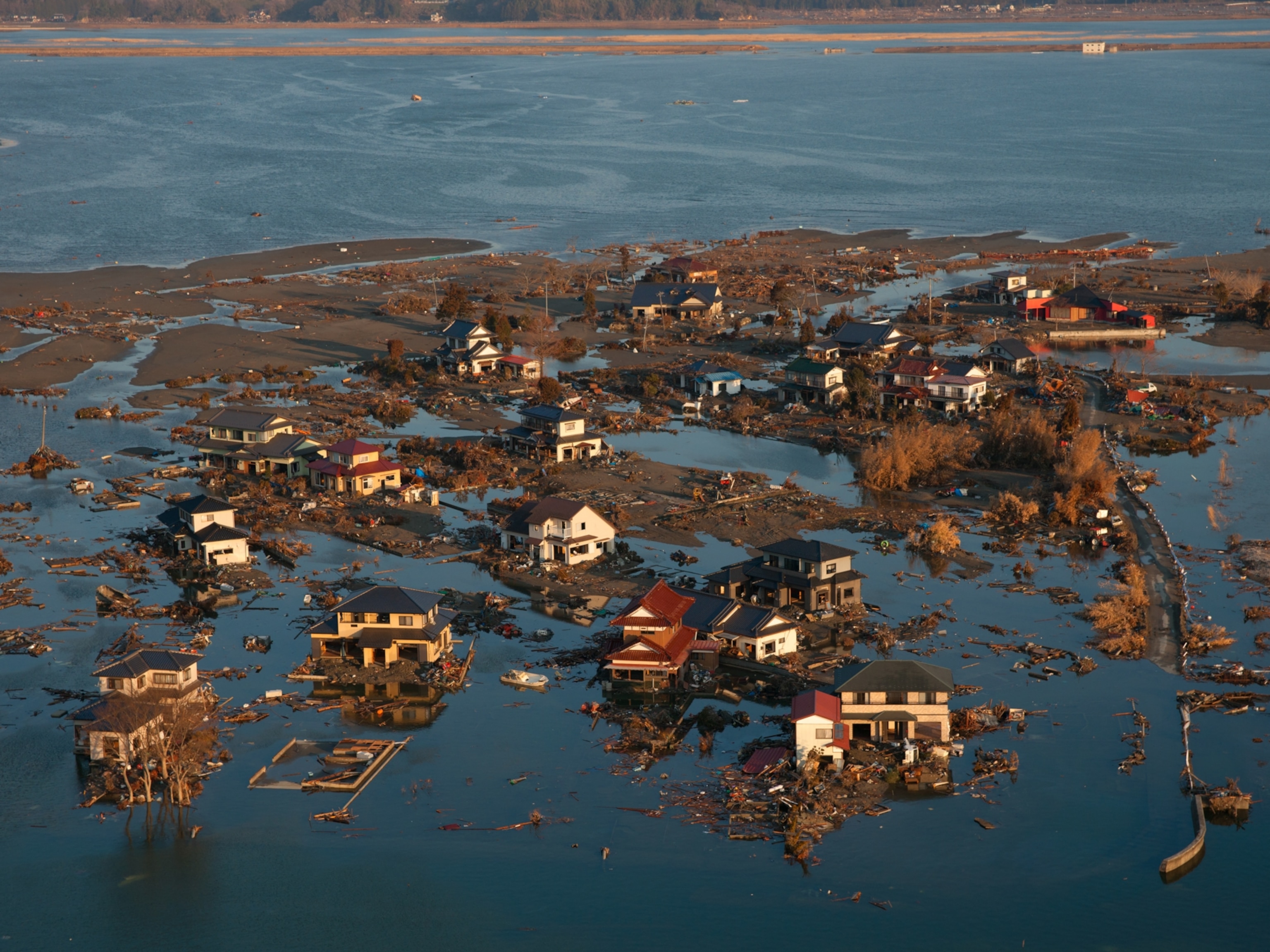
The growth can happen in fits and starts, brought on by more violent shifts in the landscape. As India rams underneath Eurasia, it doesn’t always slide smoothly by. When the land compresses, pressure builds until it hits a breaking point. The blocks of earth can then suddenly shift, rattling the ground in the jolt of an earthquake.
Yet the mountain doesn’t necessarily get taller during earthquakes. Depending on exactly how and where the ground shifts, temblors can cause the mountain to either grow or shrink small amounts. This may have been the case during the 2015 Nepal earthquake, according to satellite data.
At the same time, as the rocks continue to rise toward the skies, erosion works against their upward progression. Wind and water scour away the surface, washing sediment into streams that race down the mountain’s flanks. In the Himalaya, much of the sediment flushes through the Ganges and Brahmaputra rivers. Sand drops out of the water as the slope diminishes at the mountains’ base in what is the largest river delta in the world, making up the land that sits under most of Bangladesh and the Indian state of West Bengal.
Even as erosion and gravity keep the mighty mountains in check, tectonic plates maintain their geologic dance, and Everest will continue to follow their lead.
Related Topics
You May Also Like


Go Further
Animals
- Orangutan seen using plants to heal wound for first timeOrangutan seen using plants to heal wound for first time
- What La Palma's 'lava tubes' tell us about life on other planetsWhat La Palma's 'lava tubes' tell us about life on other planets
- This fungus turns cicadas into zombies who procreate—then dieThis fungus turns cicadas into zombies who procreate—then die
- How can we protect grizzlies from their biggest threat—trains?How can we protect grizzlies from their biggest threat—trains?
Environment
- What La Palma's 'lava tubes' tell us about life on other planetsWhat La Palma's 'lava tubes' tell us about life on other planets
- How fungi form ‘fairy rings’ and inspire superstitionsHow fungi form ‘fairy rings’ and inspire superstitions
- Your favorite foods may not taste the same in the future. Here's why.Your favorite foods may not taste the same in the future. Here's why.
- Are the Great Lakes the key to solving America’s emissions conundrum?Are the Great Lakes the key to solving America’s emissions conundrum?
- The world’s historic sites face climate change. Can Petra lead the way?The world’s historic sites face climate change. Can Petra lead the way?
History & Culture
- Meet the ruthless king who unified the Kingdom of Hawai'iMeet the ruthless king who unified the Kingdom of Hawai'i
- Hawaii's Lei Day is about so much more than flowersHawaii's Lei Day is about so much more than flowers
- When treasure hunters find artifacts, who gets to keep them?When treasure hunters find artifacts, who gets to keep them?
Science
- Why ovaries are so crucial to women’s health and longevityWhy ovaries are so crucial to women’s health and longevity
- Orangutan seen using plants to heal wound for first timeOrangutan seen using plants to heal wound for first time
Travel
- 5 of Uganda’s most magnificent national parks
- Paid Content
5 of Uganda’s most magnificent national parks - On this Croatian peninsula, traditions are securing locals' futuresOn this Croatian peninsula, traditions are securing locals' futures
- Are Italy's 'problem bears' a danger to travellers?Are Italy's 'problem bears' a danger to travellers?
