Description
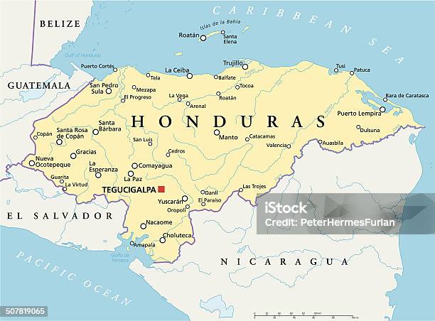
Political map of Honduras with capital Tegucigalpa, with national borders, most important cities, rivers and lakes. Illustration with English labeling and scaling.
 Download this Honduras Political Map vector illustration now. And search more of iStock's library of royalty-free vector art that features Honduras graphics available for quick and easy download.Product #:gm507819065$12.00iStockIn stock
Political map of Honduras with capital Tegucigalpa, with national borders, most important cities, rivers and lakes. Illustration with English labeling and scaling.
Learn more about royalty-free images or view FAQs related to stock illustrations and vectors.
© 2024 iStockphoto LP. The iStock design is a trademark of iStockphoto LP. Browse millions of high-quality stock photos, illustrations, and videos.