Ceuta Map Pictures, Images and Stock Photos
Browse 100+ ceuta map stock photos and images available, or start a new search to explore more stock photos and images.
Most popular
Vector map of Spain with their autonomous communities. This map was traced using as reference NASA public domain Hi-res pictures from http://visibleearth.nasa.gov/view.php?id=74092 and treated in Illustrator and specialized GIS software (Qgis, mapublisher, global mapper...) on sept-10-2010. Illustration has one layer
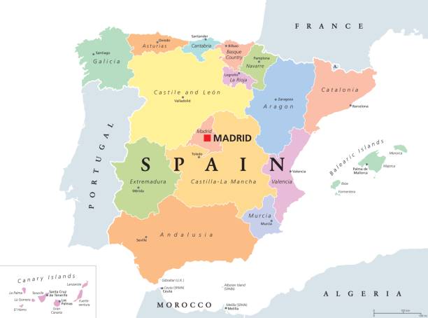
Autonomous communities of Spain political map. Administrative divisions of the Kingdom of Spain with their capitals. Municipalities, provinces and subdivisions. English labeling. Illustration. Vector.
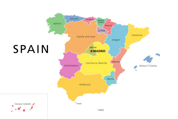
Spain political map with colored administrative divisions. Kingdom of Spain with the capital Madrid and the autonomous communities. English labeling. Isolated illustration on white background. Vector.
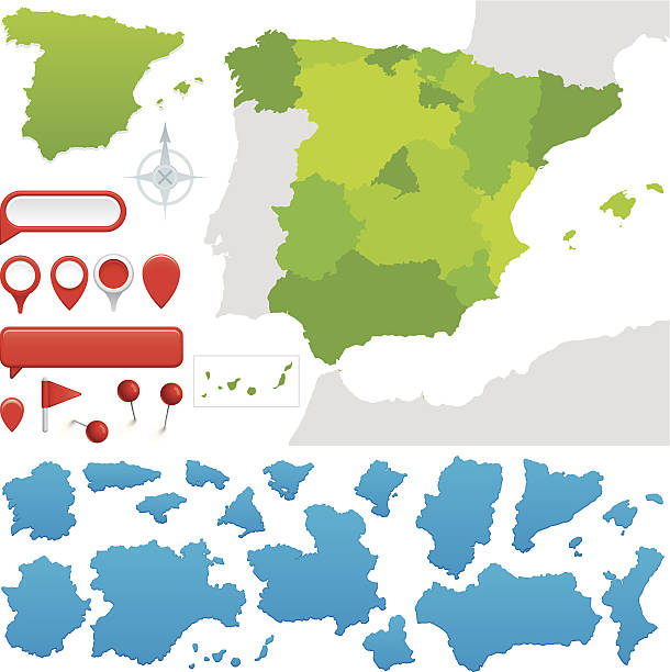
Provinces and communities of Spain. Global colours are easily changed.
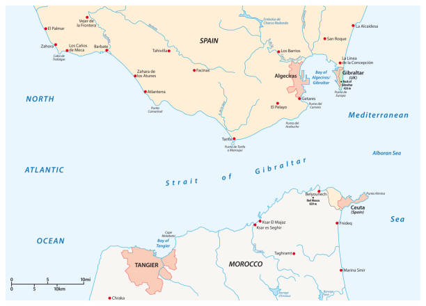
"Photo map of Strait of Gibraltar. Shallow depth of field, focus on the Strait of Gibraltar and the area nears it."
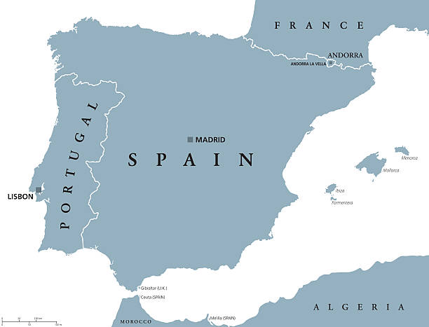
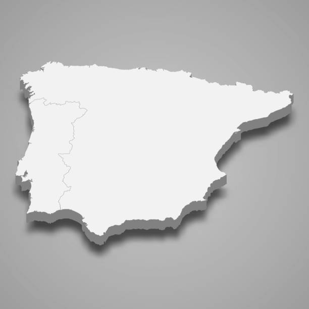
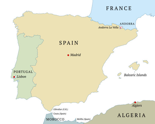
Portugal and Spain political map with capitals Lisbon and Madrid, Balearic Islands and national borders. Gray illustration of Iberian Peninsula with English labeling and scaling on white background.
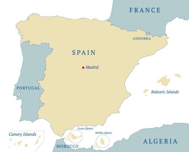
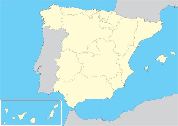
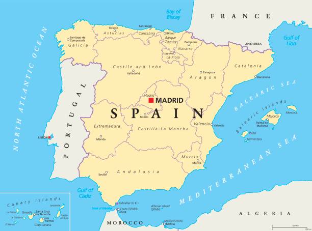
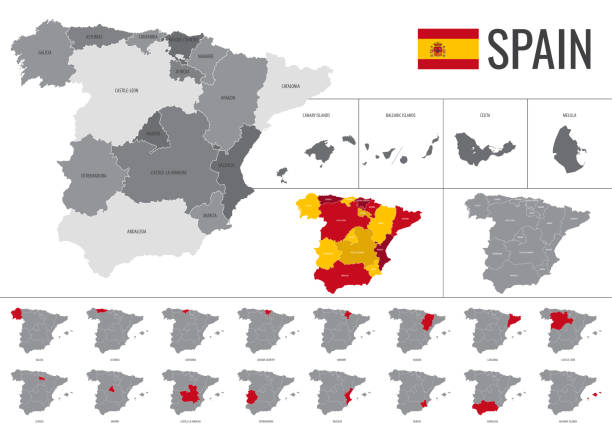
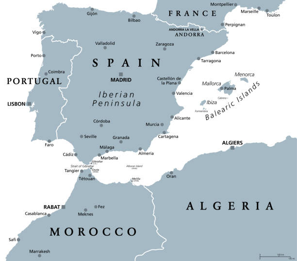
Map Spanish State with Balearic Islands, Canary Islands, the two autonomous cities, Ceuta and Melilla, national borders and capital Madrid. Vector illustration isolated on white background. English labeling
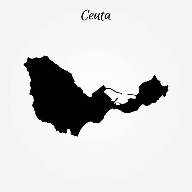
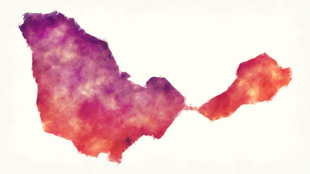
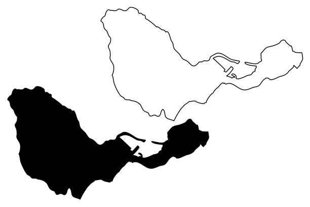
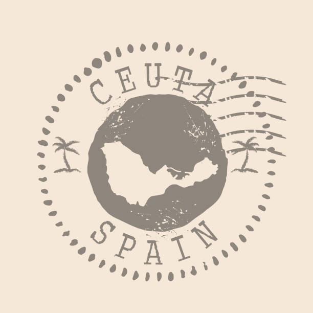
Map of Ceuta. Vector illustration. World map
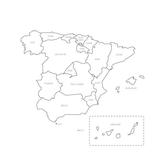
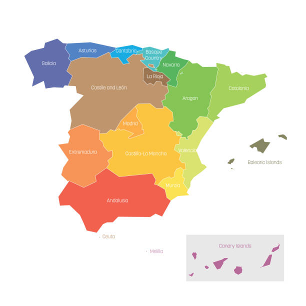
Spain political map of administrative divisions - autonomous communities and autonomous cities of Ceuta and Melilla. Thin black outline map with division name labels.
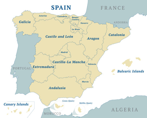
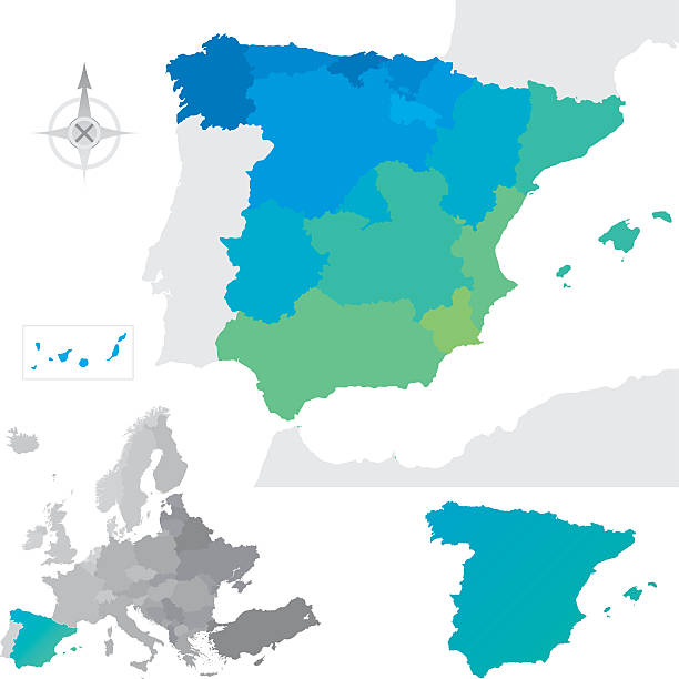
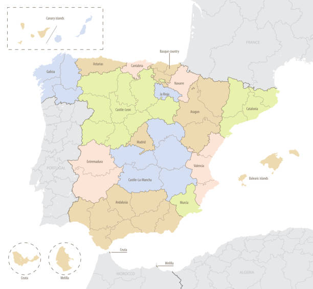
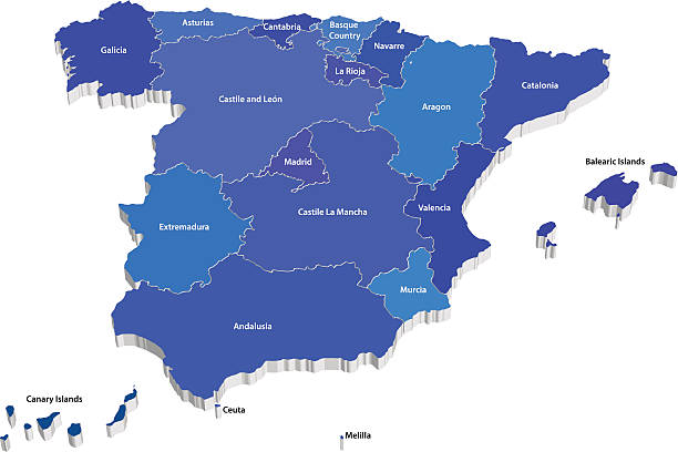
Spain political and administrative map. 17 autonomous communities and two autonomous cities. English labeling. All isolated on white background. Vector illustration
Spain, gray political map with administrative divisions. Kingdom of Spain with the capital Madrid, the autonomous communities, borders and capitals. English labeling. Illustration over white. Vector.

3d Spain blue map on white isolated
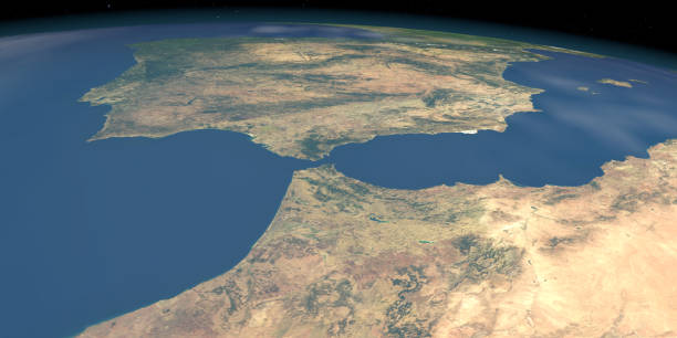
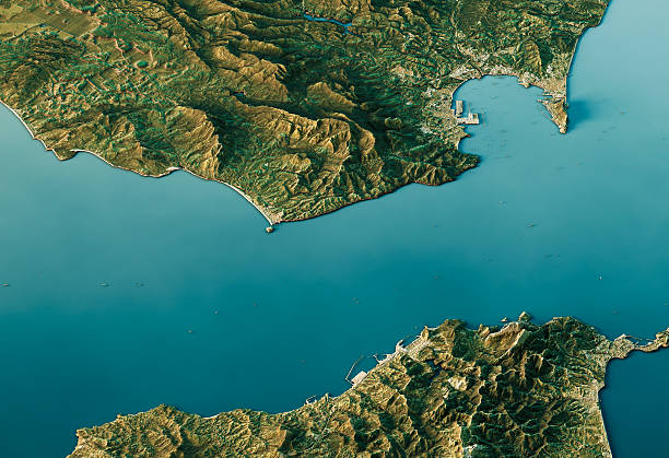
3D Render of a Topographic Map of the Strait Of Gibraltar, between Morocco and Spain.

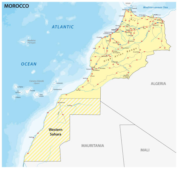
Morocco political map with capital Rabat, national borders, important cities and rivers. Illustration with English labeling and scaling.
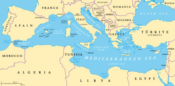
The Mediterranean Sea, political map with subdivisions, straits, islands and countries. Connected to the Atlantic Ocean, surrounded by the Mediterranean Basin, almost completely enclosed by land.
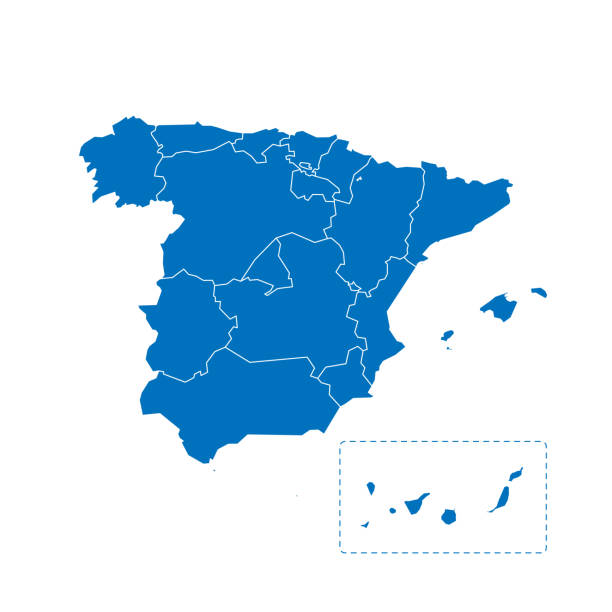
Spain political map of administrative divisions - autonomous communities and autonomous cities of Ceuta and Melilla. Solid blue blank vector map with white borders.
Ceuta map vector illustration, scribble sketch Ceuta
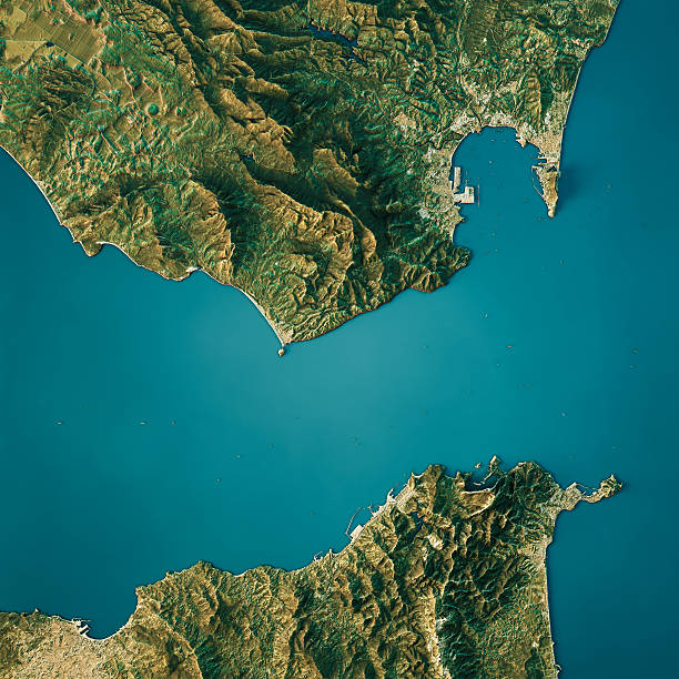
3D Render of a Topographic Map of the Strait Of Gibraltar, between Morocco and Spain.
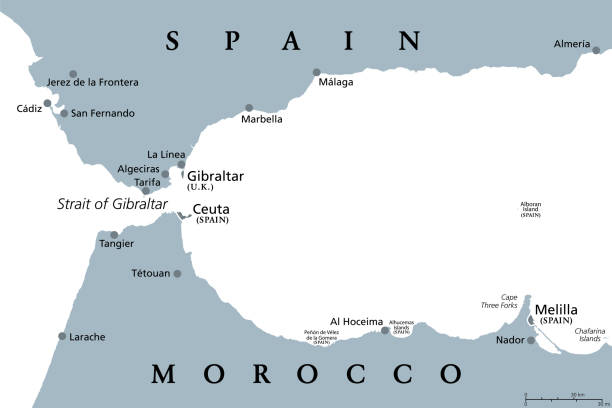
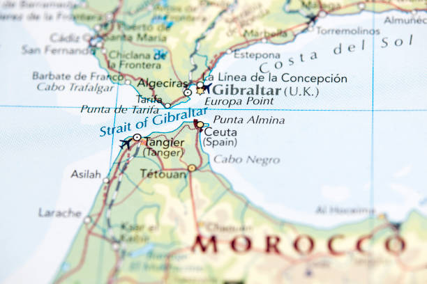
Strait of Gibraltar, gray political map. Also known as Straits of Gibraltar. A narrow strait, connecting Atlantic Ocean to Mediterranean Sea, separating the Iberian Peninsula from Morocco and Africa.
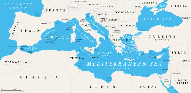
The Mediterranean Sea subdivisions, political map with straits, countries and the Black Sea. Connected to the Atlantic Ocean, surrounded by the Mediterranean Basin, almost completely enclosed by land.
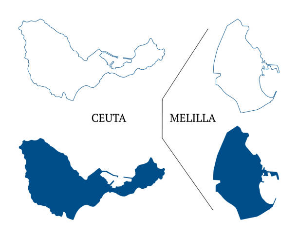
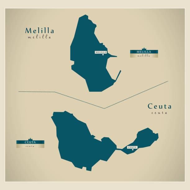
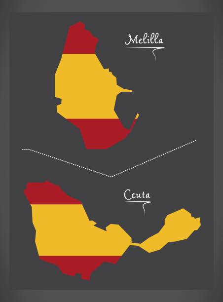
Ceuta and Melilla map vector, autonomous cities of Spain. High detailed vector outline and blue silhouette of Ceuta and Melilla. All isolated on white background. Template for website, design, cover, infographics. Vector illustration
3d isometric map of Iberian Peninsula region, isolated with shadow vector illustration
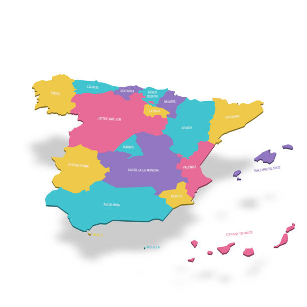
Spain political map of administrative divisions - autonomous communities and autonomous cities of Ceuta and Melilla. 3D colorful vector map with name labels.
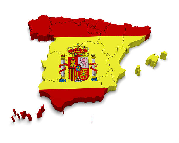
Spain 3D flag map on white isolated
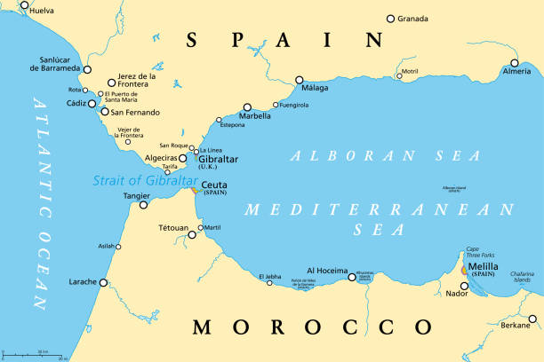
Strait of Gibraltar, political map. Also known as Straits of Gibraltar. Narrow strait, connecting the Atlantic Ocean to the Mediterranean Sea, separating the Iberian Peninsula from Morocco and Africa.
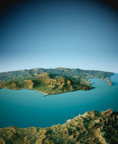
3D Render of a Topographic Map of the Strait Of Gibraltar, between Morocco and Spain.
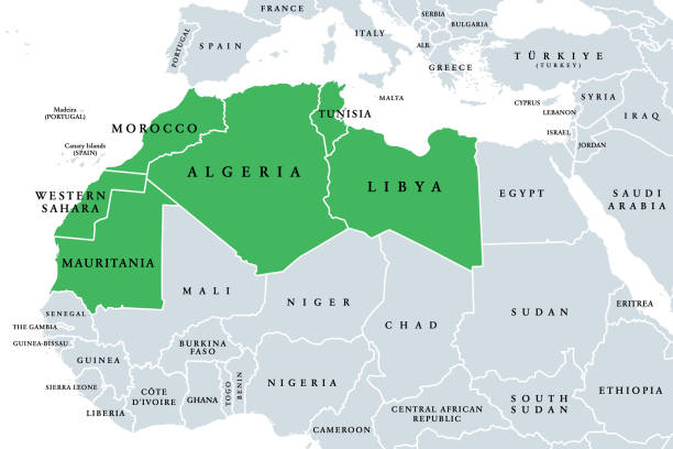
Maghreb, Arab Maghreb or also Northwest Africa, political map. Part of the Arab World, comprising Algeria, Libya, Morocco, Mauritania, Tunisia, Western Sahara and the Spanish cities Ceuta and Melilla.
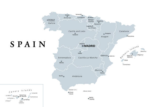
Spain administrative divisions political map. Autonomous communities and their capitals. Territorial organization, municipalities, provinces and subdivisions. English labeling. Illustration. Vector.
Political divisions of Spain. Map of regional country administrative divisions. Colorful vector illustration.
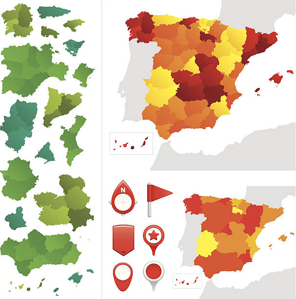
Provinces and communities of Spain. Global colours are easily changed.
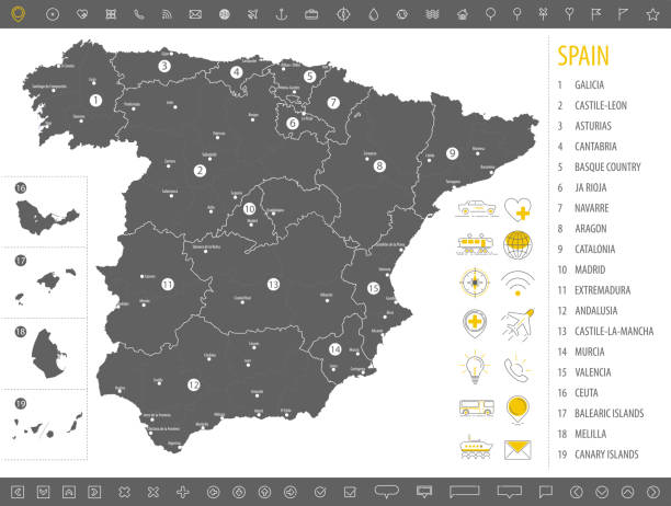
Map of the 17 Autonomous communities of Spain. All on labelled layers.
Vector political map of the Iberian Peninsula. Countries and their capitals. English labeling. All isolated on white background. Vector illustration
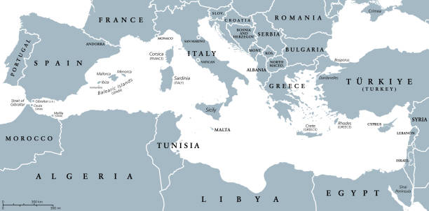
The Mediterranean Sea, gray political map with international borders, countries and islands. Connected to the Atlantic Ocean, surrounded by the Mediterranean Basin, almost completely enclosed by land.
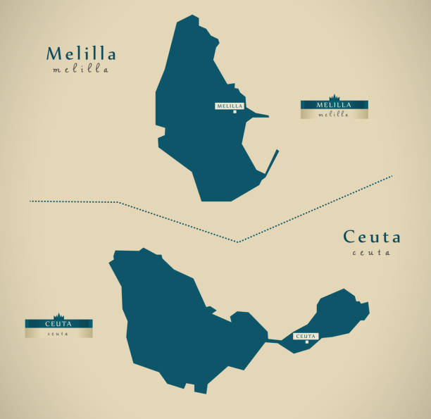
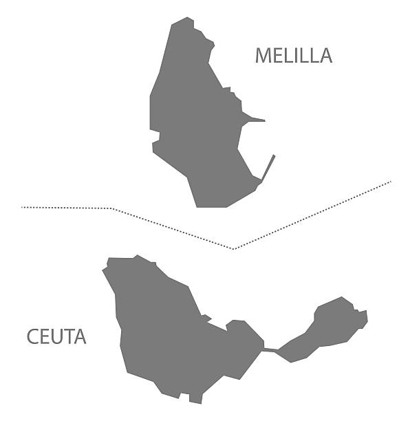
Melilla and Ceuta Spain Map in grey
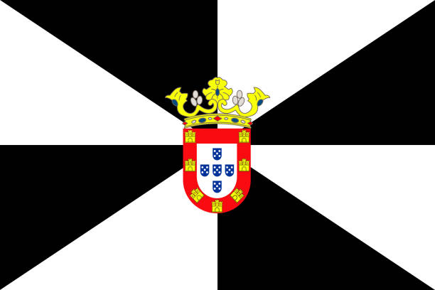
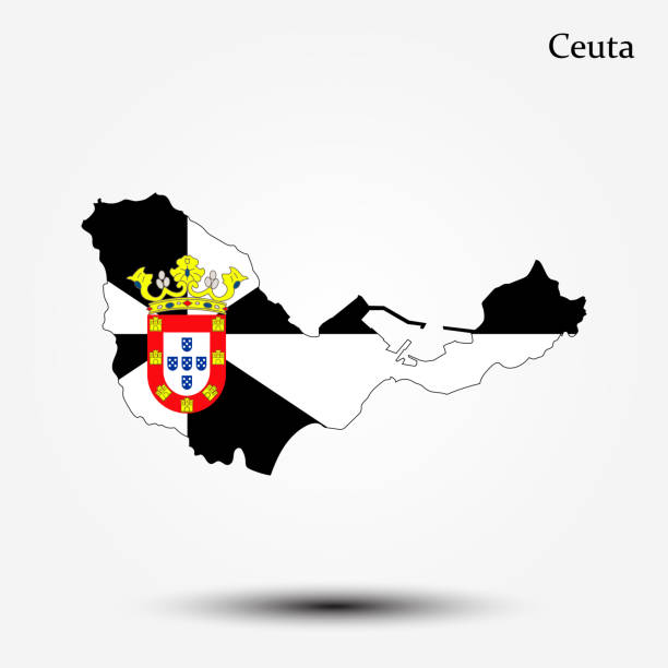
Flag of Ceuta. Vector illustration. World flag
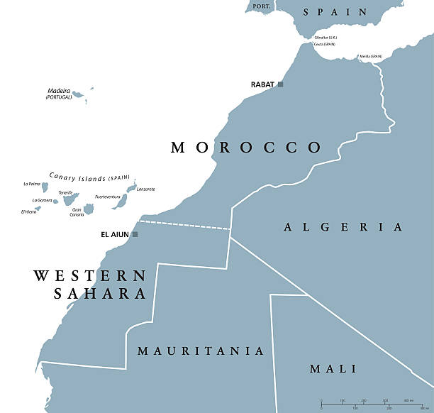
Morocco and Western Sahara political map with capitals Rabat and El Aiun and with national borders. Gray illustration with English labeling and scaling on white background.
Futuristic map of Spain with provinces and autonomous communities. This map was traced using as reference NASA public domain Hi-res pictures from http://visibleearth.nasa.gov/view.php?id=74092 and treated in Illustrator and specialized GIS software (Qgis, mapublisher, global mapper...) on dec-30-2011. Illustration has one layer
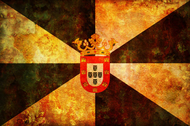
some very old vintage flag of ceuta
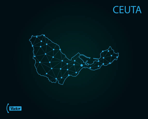
Map of Ceuta. Vector illustration. World map
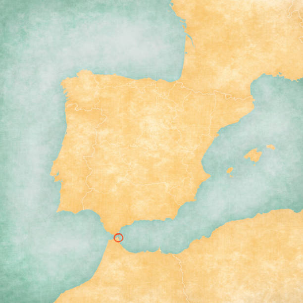
Ceuta on the map of Iberian Peninsula in soft grunge and vintage style on old paper.
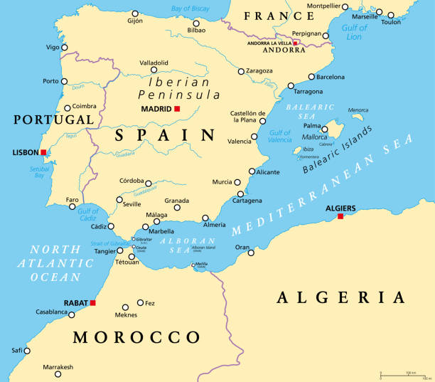
West Mediterranean, political map. The Iberian Peninsula, bordered by the North Atlantic and Mediterranean Sea, separated from Africa by the Strait of Gibraltar. Portugal, Spain and Balearic Islands.
Map of Ceuta. Vector illustration. World map
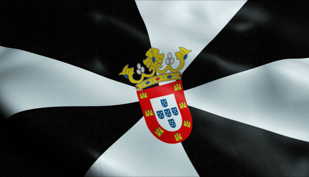
3D Waving Spain City Flag of Ceuta Closeup View
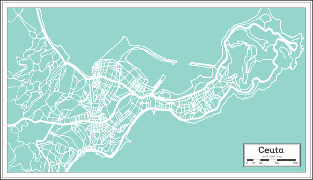
Ceuta Spain City Map in Retro Style. Outline Map. Vector Illustration.
West Mediterranean, gray political map. Iberian Peninsula, bordered by the North Atlantic and Mediterranean Sea, separated from Africa by the Strait of Gibraltar. Portugal, Spain and Balearic Islands.
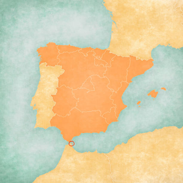
Ceuta (Spain) on the map of Iberian Peninsula in soft grunge and vintage style on old paper.