Casper Wyoming stock illustrations
Browse 70+ casper wyoming stock illustrations and vector graphics available royalty-free, or search for billings montana or spokane washington to find more great stock images and vector art.
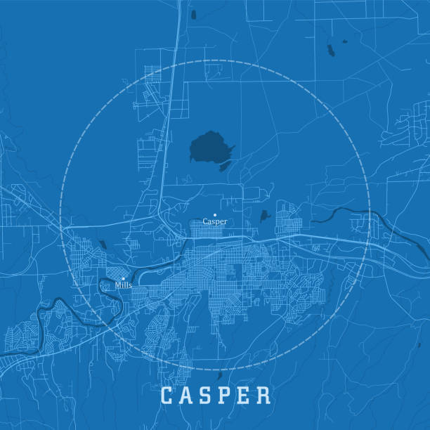
Casper WY City Vector Road Map Blue Text. All source data is in the public domain. U.S. Census Bureau Census Tiger. Used Layers: areawater, linearwater, roads.
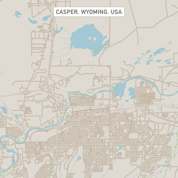
Vector Illustration of a City Street Map of Casper, Wyoming, USA. Scale 1:60,000. All source data is in the public domain. U.S. Geological Survey, US Topo Used Layers: USGS The National Map: National Hydrography Dataset (NHD) USGS The National Map: National Transportation Dataset (NTD)
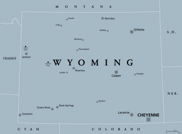
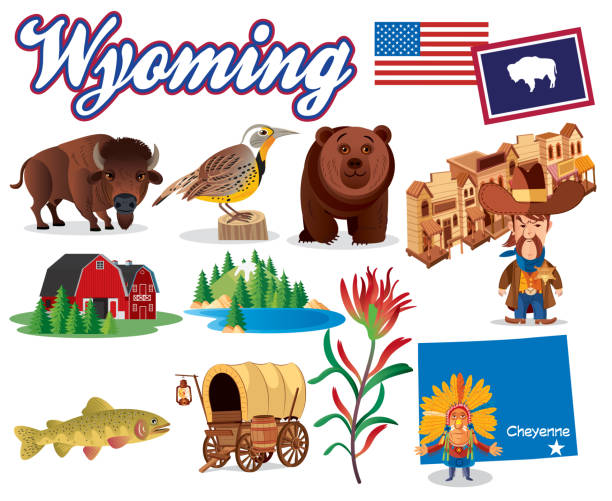
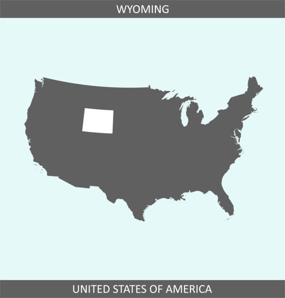
Wyoming, WY, gray political map, with the capital Cheyenne. State in the Mountain West subregion of the Western United States of America, nicknamed Equality State, Cowboy State and Big Wyoming. Vector
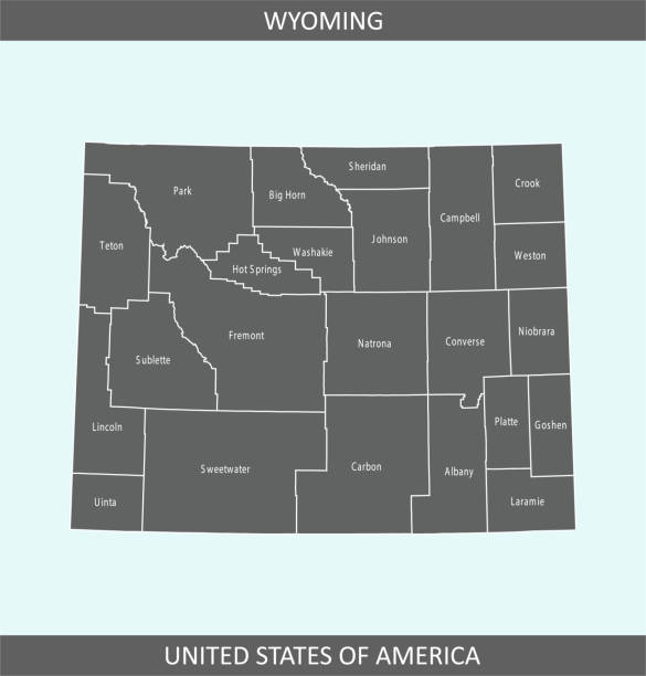
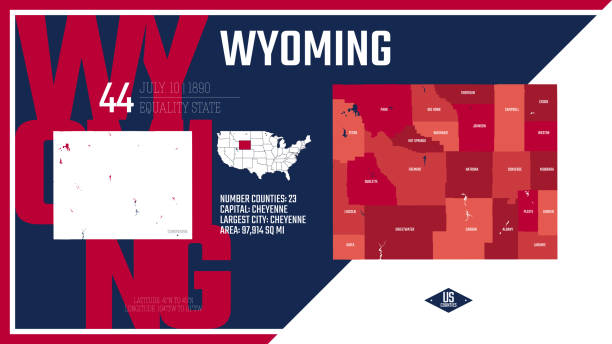
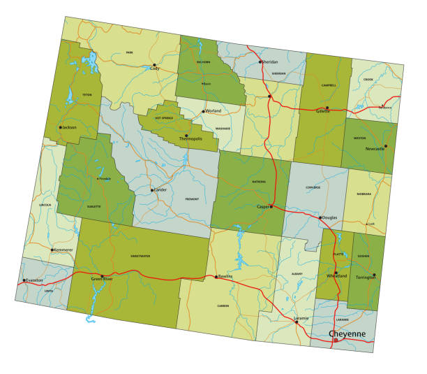
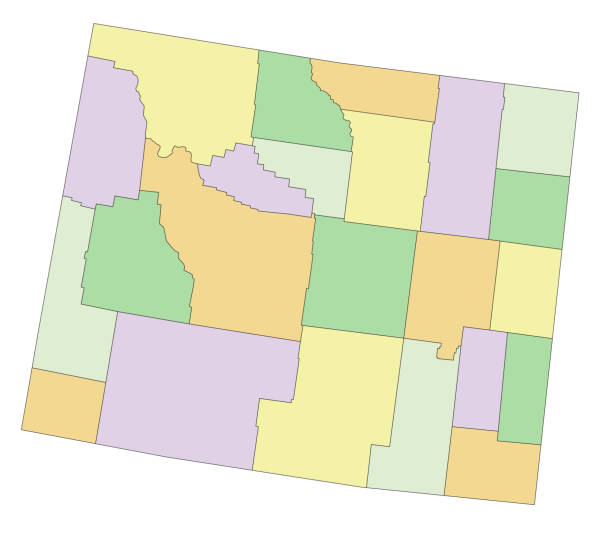
County map of Wyoming state of United States of America. The map is accurately prepared by a map expert.
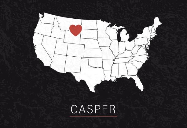
Love Casper Picture. Map of United States with Heart as City Point. Vector Illustration
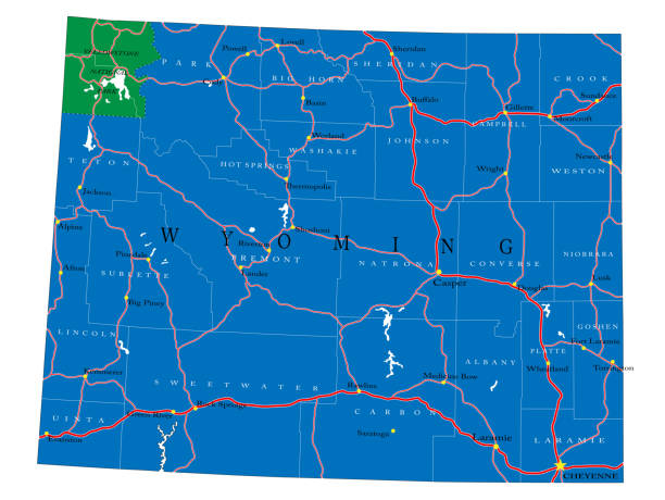
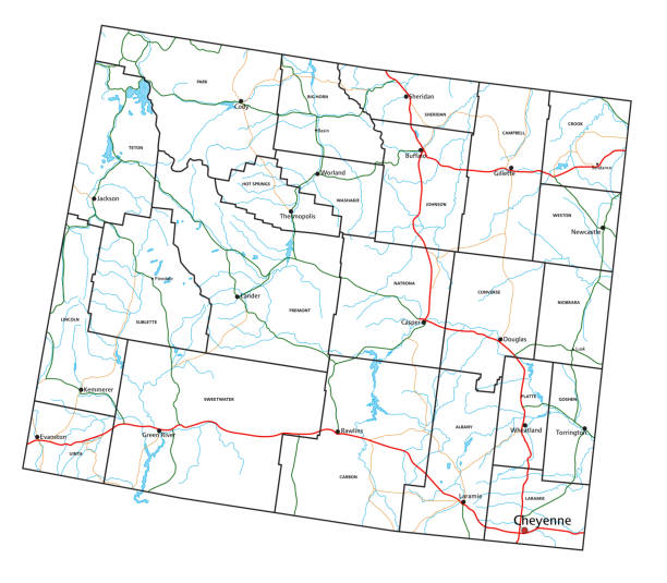
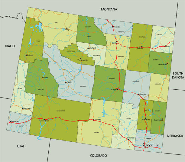
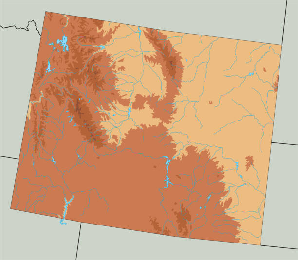
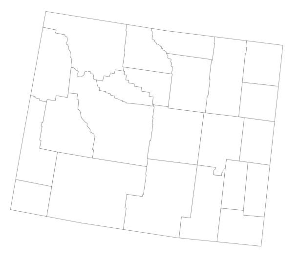
Detailed map of Wyoming state,in vector format,with county borders,roads and major cities.
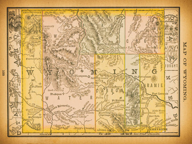
19th century map of Wyoming. Published in New Dollar Atlas of the United States and Dominion of Canada. (Rand McNally & Co's, Chicago, 1884).
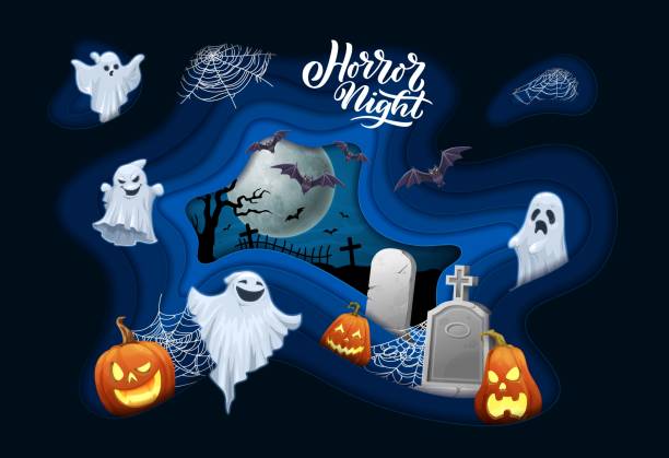
Halloween paper cut banner, cartoon flying ghosts and bats, tombstones and midnight cemetery. Vector 3d effect papercut wavy frame with funny spooks, stone crosses, jack lantern pumpkins and spiderweb
I have used http://legacy.lib.utexas.edu/maps/us_2001/wyoming_ref_2001.jpg address as the reference to draw the basic map outlines with Illustrator CS5 software, other themes were created by myself.
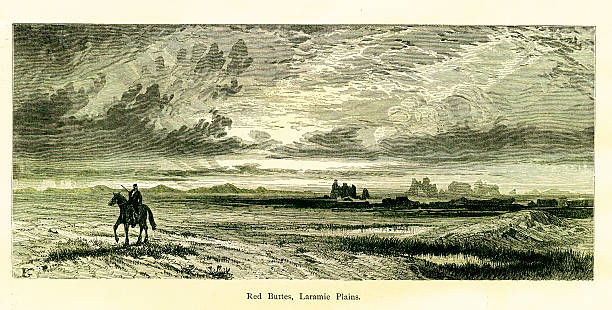
Red Buttes, rock formations in Laramie Plains, U.S. state of Wyoming. Published in Picturesque America or the Land We Live In (D. Appleton & Co., New York, 1872)
Cartoon Map of Wyoming I have used http://legacy.lib.utexas.edu/maps/us_2001/wyoming_ref_2001.jpg address as the reference to draw the basic map outlines with Illustrator CS5 software, other themes were created by myself.
Cartoon Map of Wyoming I have used http://legacy.lib.utexas.edu/maps/us_2001/wyoming_ref_2001.jpg address as the reference to draw the basic map outlines with Illustrator CS5 software, other themes were created by myself.

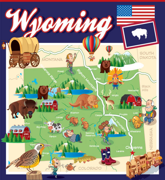
Cartoon Map of Wyoming I have used http://legacy.lib.utexas.edu/maps/us_2001/wyoming_ref_2001.jpg address as the reference to draw the basic map outlines with Illustrator CS5 software, other themes were created by myself.
Label set with names of Wyoming cities, vector illustration
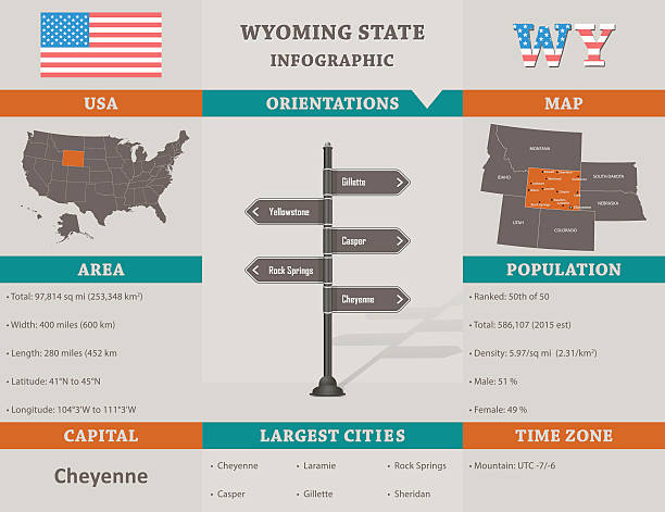
USA - Wyoming state infographic template, area, map and population informations included

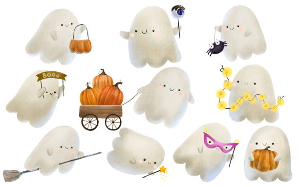
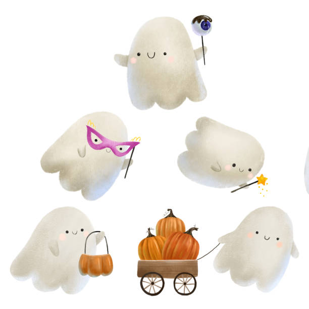
cute white casper with boo inscription. Cartoon ghost isolated illustration

white casper travel on cartoon witch broom. Isolated elements. Halloween illustration

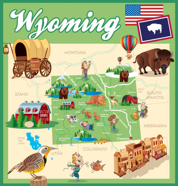
Cartoon Map of Wyoming I have used http://legacy.lib.utexas.edu/maps/us_2001/wyoming_ref_2001.jpg address as the reference to draw the basic map outlines with Illustrator CS5 software, other themes were created by myself.
Wyoming I have used http://legacy.lib.utexas.edu/maps/us_2001/wyoming_ref_2001.jpg address as the reference to draw the basic map outlines with Illustrator CS5 software, other themes were created by myself.

Map of Natrona County - Wyoming, isolated on a blank background and with his name on a red ribbon. Vector Illustration (EPS file, well layered and grouped). Easy to edit, manipulate, resize or colorize. Vector and Jpeg file of different sizes.
Map of Natrona County - Wyoming, for your own design. Four maps with editable stroke included in the bundle: - One black map on a white background. - One blank map on a black background. - One white map with shadow on a blank background (for easy change background or texture). - One line map with only a thin black outline (in a line art style). The layers are named to facilitate your customization. Vector Illustration (EPS file, well layered and grouped). Easy to edit, manipulate, resize or colorize. Vector and Jpeg file of different sizes.
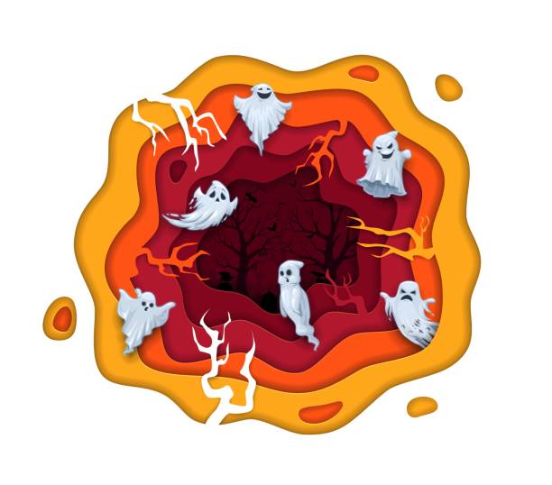
Halloween paper cut cartoon funny and eerie flying ghosts on cemetery landscape. Vector october holiday design with 3d papercut effect wavy frame, spooky phantoms, branches and graveyard graphics art
Vector outline map of Wyoming state of United States of America. The map is accurately prepared by a map expert.

cute casper with lamp garland. Cartoon ghost isolated illustration
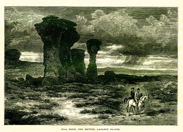
Red Buttes, rock formations in Laramie Plains, U.S. state of Wyoming. Published in Picturesque America or the Land We Live In (D. Appleton & Co., New York, 1872)

fairy ghost with orange pumpkin. Cute casper. Childish halloween isolated illustration
Halloween background with animal trick or treating in Halloween costume

cute casper with lollipop with blue eye and dark chocolate. Cartoon ghost isolated illustration

Cartoon Halloween kawaii ghost character with festive flag garland. Isolated cute and adorable spirit personage adding a charming and spooky touch to holiday, creating a whimsical seasonal atmosphere
Wyoming Map https://maps.lib.utexas.edu/maps/united_states/fed_lands_2003/wyoming_2003.pdf
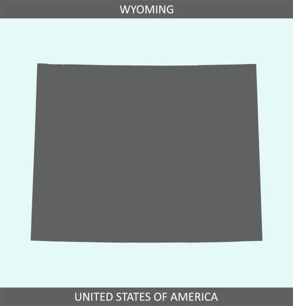
Printable map of Wyoming state of United States of America. The map is accurately prepared by a map expert.

Map of Natrona County - Wyoming, with a realistic paper cut effect isolated on white background. Trendy paper cutout effect. Vector Illustration (EPS file, well layered and grouped). Easy to edit, manipulate, resize or colorize. Vector and Jpeg file of different sizes.
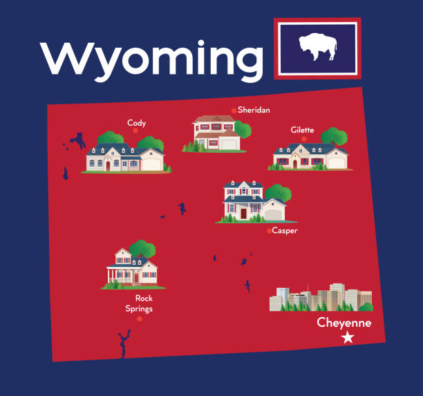
Vector Wyoming Map and American Home https://maps.lib.utexas.edu/maps/united_states/fed_lands_2003/wyoming_2003.pdf

fairy ghost with masquerade pink mask. Cute casper. Childish halloween isolated illustration
Halloween paper cut flying cartoon funny ghosts on cemetery. Vector october holiday design with 3d papercut effect wavy frame, spooky phantoms, bat, branches and graveyard. Paper carve art graphics

White ghost with magic star wand. Cute casper. Childish halloween isolated illustration

funny cartoon ghost with orange pumpkin basket. Halloween isolated illustration
Hand painted water color sketchy drawing, cut out clip art elements for design.
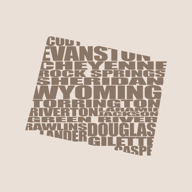
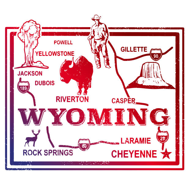
Word cloud map of Wyoming state. Cities list collage

vector illustration of Wyoming map
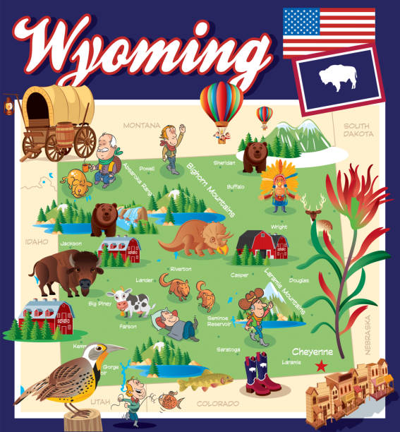
Cartoon Map of Wyoming I have used http://legacy.lib.utexas.edu/maps/us_2001/wyoming_ref_2001.jpg address as the reference to draw the basic map outlines with Illustrator CS5 software, other themes were created by myself.
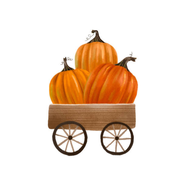
Wooden cart with orange pumpkins. Autumn. Illustration for Halloween. Isolated element

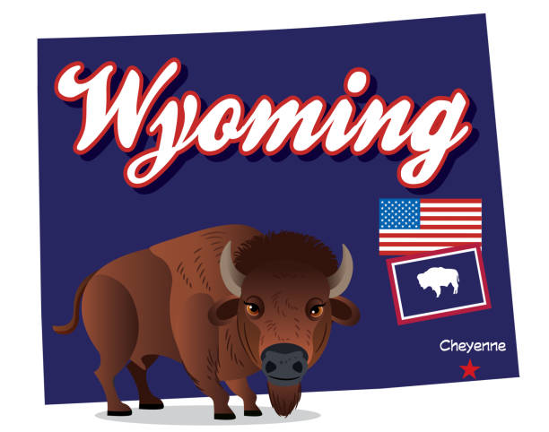
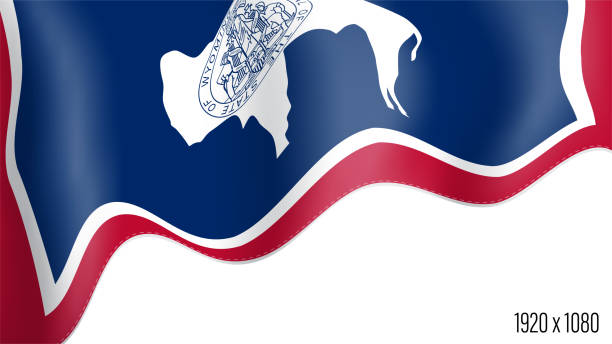
vector illustration of Wyoming map with american flag

Map of Natrona County - Wyoming, on a blue and red colored background. The blue color represents the Democratic Party and the red color represents the Republican Party. White stars are placed above and below the map. Vector Illustration (EPS file, well layered and grouped). Easy to edit, manipulate, resize or colorize. Vector and Jpeg file of different sizes.

The ghost is pushing a wooden cart with orange pumpkins. Illustration for Halloween. Isolated element