september 14, 2008 - arctic sea ice. - arctic circle satellite stock pictures, royalty-free photos & images
world map topographic map dark ocean color - arctic circle satellite stock pictures, royalty-free photos & images
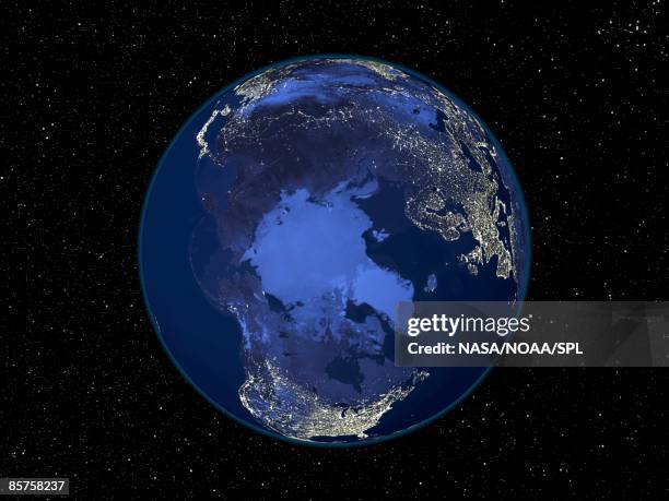
north pole at night, satellite image of the earth at night - arctic circle satellite stock pictures, royalty-free photos & images
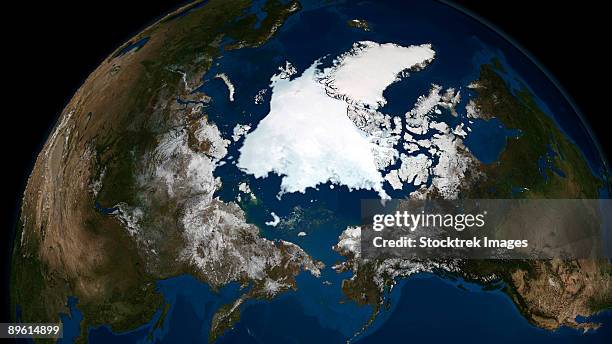
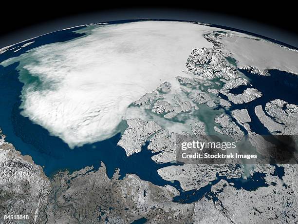
this image shows a view of the earth on september 21, 2005 with the full arctic region visible. - arctic circle satellite stock pictures, royalty-free photos & images
arctic sea ice above north america on september 27, 2005, viewed over the beaufort sea. - arctic circle satellite stock pictures, royalty-free photos & images
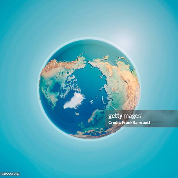
arctic ocean north pole 3d render topographic map neutral - arctic circle satellite stock pictures, royalty-free photos & images
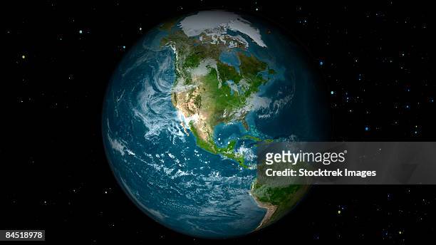
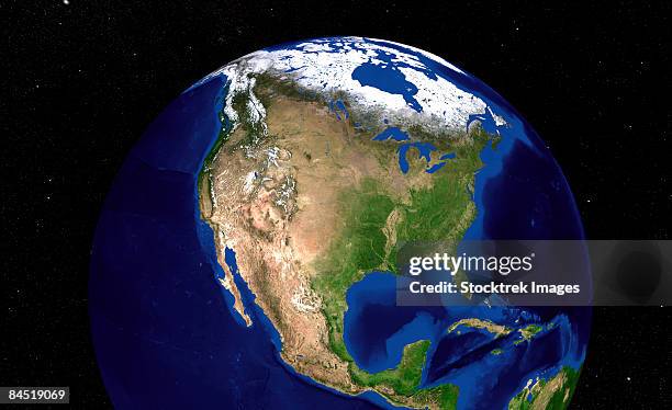
full earth view showing north america. - arctic circle satellite stock pictures, royalty-free photos & images
arctic, day and night, satellite image of the earth - arctic circle satellite stock pictures, royalty-free photos & images
True colour satellite image of the Earth centred on the North Pole with cloud coverage, during summer solstice at 12 p.m GMT. This image in...
True colour satellite image of the Earth centred on the North Pole, during summer solstice at 6 p.m GMT. This image in orthographic projection was...
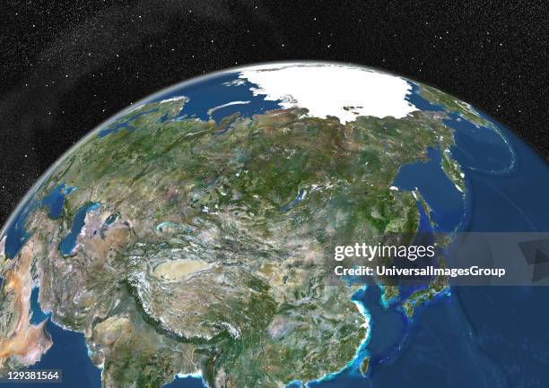
True colour satellite image of the Earth showing Asia and the North Pole. This image in orthographic projection was compiled from data acquired by...
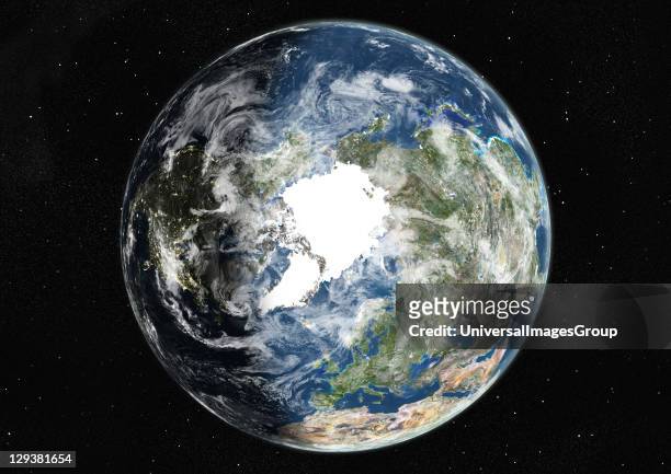
True colour satellite image of the Earth centred on the North Pole, during summer solstice at 12 p.m GMT. This image in orthographic projection was...
world map 3d render topographic map color - arctic circle satellite stock pictures, royalty-free photos & images
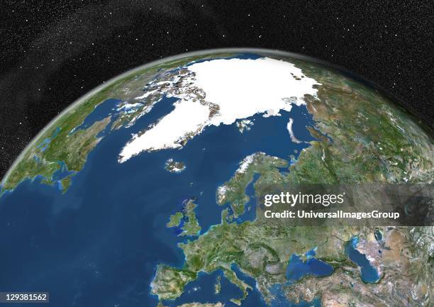
True colour satellite image of the Earth showing Greenland, the North Pole and Europe, with cloud coverage. This image in orthographic projection was...
True colour satellite image of the Earth showing Greenland, the North Pole and Europe. This image in orthographic projection was compiled from data...
True colour satellite image of the Earth centred on the North Pole with cloud coverage, at the equinox at 12 p.m GMT. This image in orthographic...
full earth view showing north america. - arctic circle satellite stock pictures, royalty-free photos & images
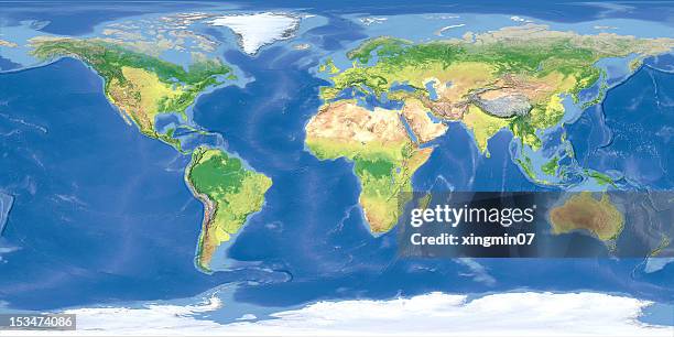
world topographic map,national border - arctic circle satellite stock pictures, royalty-free photos & images
large satellite dishes in the snowy tundra in the arctic - arctic circle satellite stock pictures, royalty-free photos & images
detailed satellite view of earth. - arctic circle satellite stock pictures, royalty-free photos & images
partial view of earth showing northern canada and northern greenland. - arctic circle satellite stock pictures, royalty-free photos & images
sea ice above north america on april 26, 2006. - arctic circle satellite stock pictures, royalty-free photos & images
True colour satellite image of the Earth centred on the North Pole with cloud coverage, during summer solstice at 6 a.m GMT. This image in...
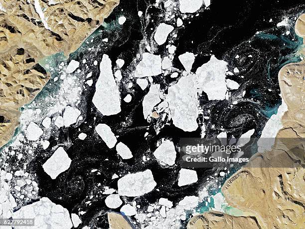
In this handout satellite composite image provided by the U.S. Geological Survey , satellite images of polar ice sheets taken in August 2001 and...
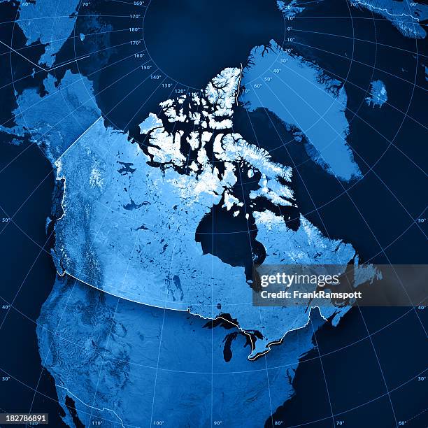
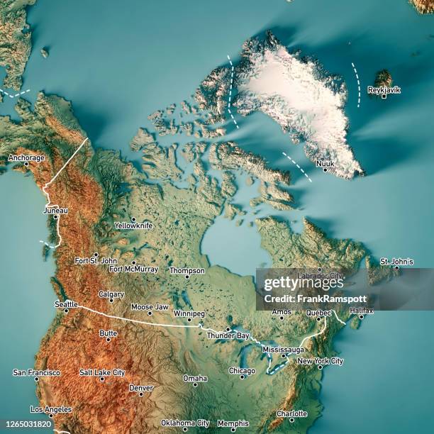
canada 3d render topographic map border cities - arctic circle satellite stock pictures, royalty-free photos & images
north pole 3d render planet earth - arctic circle satellite stock pictures, royalty-free photos & images
large radio telescope against the background of the northern lights - arctic circle satellite stock pictures, royalty-free photos & images
satellite photo of the americas & europe - arctic circle satellite stock pictures, royalty-free photos & images
Wide satellite image of Hans Island, an uninhabited rock in the Arctic and a territorial dispute between Canada and Denmark .
satellite and radio antennas in the arctic - arctic circle satellite stock pictures, royalty-free photos & images
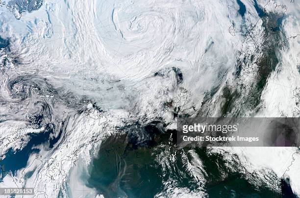
satellite view of large and powerful cyclone churning over the arctic. - arctic circle satellite stock pictures, royalty-free photos & images
Wide satellite image of Hans Island, an uninhabited rock in the Arctic and a territorial dispute between Canada and Denmark .
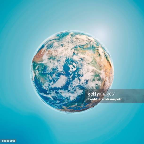
3d rendering of planet earth with clouds, centered on the north pole with north america and asia partially visible. - arctic circle satellite stock illustrations
Franz Josef Land is an archipelago in the far north of Russia. It consists of 191 islands and has no native inhabitants. The islands of Salisbury,...
northeast canada from high above. arctic lands of newfoundland - arctic circle satellite stock pictures, royalty-free photos & images
This image released 21 August, 2000 by NASA's Jet Propulsion Laboratory shows a comparison of ice growth during the Arctic winter as captured by a...
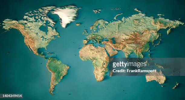
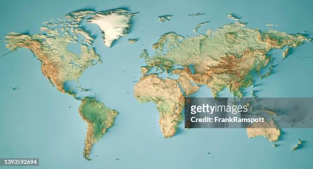
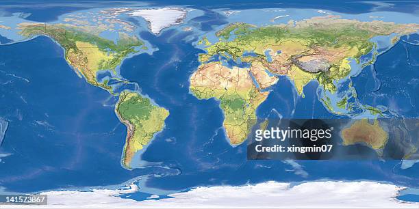
terrain map of the world from satellite view - arctic circle satellite stock pictures, royalty-free photos & images
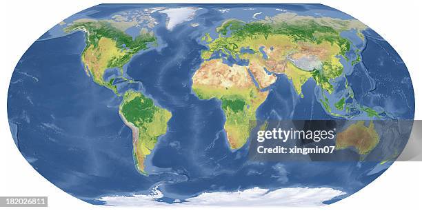
earth map in robinson projection - arctic circle satellite stock pictures, royalty-free photos & images
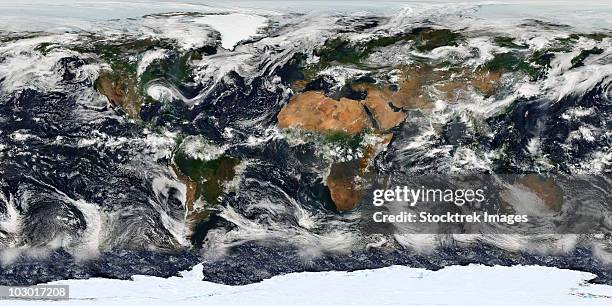
blue marble next generation seasonal landcover. - arctic circle satellite stock pictures, royalty-free photos & images
north pole 3d render planet earth clouds - arctic circle satellite stock pictures, royalty-free photos & images
View of fiords as they melt due to climate change near Svalbard Islands, in the Arctic Ocean in Norway on July 19, 2022. Turkish scientists shed...
View of fiords as they melt due to climate change near Svalbard Islands, in the Arctic Ocean in Norway on July 19, 2022. Turkish scientists shed...
earth map in robinson projection - arctic circle satellite stock pictures, royalty-free photos & images
View of fiords as they melt due to climate change near Svalbard Islands, in the Arctic Ocean in Norway on July 19, 2022. Turkish scientists shed...
earth with clouds and sea ice from september 15, 2008. - arctic circle satellite stock pictures, royalty-free photos & images
Telecommunication dome of KSAT, Kongsberg Satellite Services, is pictured on a mountain top near Longyearbyen, in Svalbard Archipelago on May 10,...
View of fiords as they melt due to climate change near Svalbard Islands, in the Arctic Ocean in Norway on July 19, 2022. Turkish scientists shed...
blue marble next generation seasonal landcover. - arctic circle satellite stock pictures, royalty-free photos & images
View of fiords as they melt due to climate change near Svalbard Islands, in the Arctic Ocean in Norway on July 19, 2022. Turkish scientists shed...
View of fiords as they melt due to climate change near Svalbard Islands, in the Arctic Ocean in Norway on July 19, 2022. Turkish scientists shed...
View of fiords as they melt due to climate change near Svalbard Islands, in the Arctic Ocean in Norway on July 19, 2022. Turkish scientists shed...
View of glaciers near Svalbard Islands, in the Arctic Ocean in Norway on July 14, 2022. Turkish scientists shed light on the unknown future of the...
An aerial view of glaciers near Svalbard Islands, in the Arctic Ocean in Norway on July 17, 2022. Turkish scientists shed light on the unknown future...